Steamer Superior
|
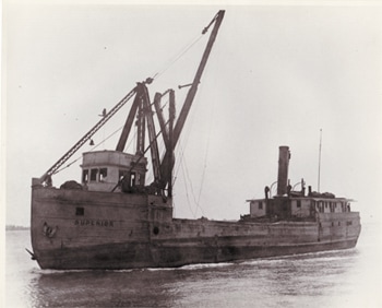
Photo Courtesy of the Great Lakes Historical Collection.
|
History:
The SUPERIOR was built at Fort Howard, WI in 1881 by Soren Anderson, as the scow sloop MENTOR with an official number of 91378. A scow sloop, is a flat bottom sailing vessel with a single mast and sail. Her dimensions were: length, 118 feet; beam, 26 feet; hull depth, 9 feet; and gross tonnage, 230 tons. In 1888, the rig was changed to steamer and the vessel’s tonnage was increased to 305 tons. In 1916, the vessel was declared as unfit for service at Port Huron, MI. Subsequently the hull was given a major rebuild at Marine City, MI by Sidney McLouth, her name was changed to SUPERIOR, and she was converted to a sand dredge. The rebuild was so extensive that the vessel was given a new official number of 214461. The SUPERIOR’s new dimensions were: length, 138 feet; beam, 30.5 feet; hull depth, 8 feet, with a gross tonnage of 327 tons. |
Wreck Description:
Only the bottom hull structure and a few small artifacts remain. Due to the current low water levels, much of this structure is currently above water. The sides of the hull and upper cabin structure were either destroyed by fire when the vessel burned in 1929 or lost through salvage, pilfering, or wave action over the several decades since the vessel’s loss. In deeper water, very near the entrance to DeTour harbor there is a small winch.
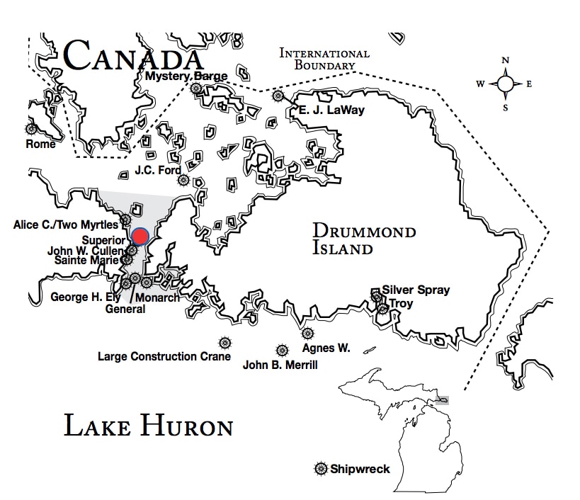
Wreck Location:The wreck is located just south of the entrance to DeTour harbor. Due to recent low water levels, much of the wreck can be seen above water, at present.
Lat/Long Coordinates:
Latitude: 45º 59.699’ North
Longitude: 83º 53.911’ West
|
Map courtesy of Michigan Underwater Preserve Council.
|
© 2009 Mike Spears and the Drummond Island Tourism Association


