Barque MONARCH
|
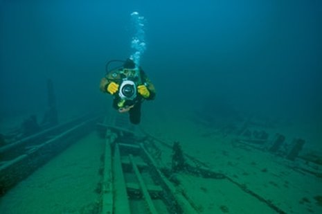
Photo by B. Huizing
|
History
The Barque MONARCH was built at Oakville, Ontario in 1862 by John Simpson and was employed carrying bulk cargo such as coal, grain or iron ore. Her dimensions were: length, 135 feet; beam, 24 feet; hull depth, 10.8 feet; and gross tonnage, 315 tons. The vessel was registered in Canada from 1862 to 1868 and sold to an American owner in Oswego, NY in 1868. The vessel’s final home port was Buffalo, NY. At present, little more is known about the MONARCH’s career on the Great Lakes. Final Voyage On her final voyage, the Barque MONARCH was sailing north toward DeTour Passage with a cargo of coal and went aground on Crab Island Shoal which is located at the southwest corner of Drummond Island. The vessel was quickly declared a total loss. |
Wreck Description:
The wreck lies in 30-40 feet of water just north of the western end of Crab Island Shoal. The hull broken at the bilge line and splayed open into 3 main sections, which are the bottom and sides of the hull. Smaller sections of the bow and stern are also present. The deck, rigging and machinery are gone and were probably removed during salvage attempts. The bottom is littered with coal. There are a few small artifacts present.
Wreck Location:
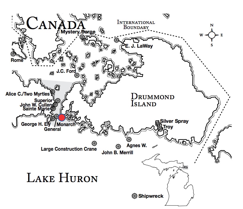
The wreck lies in 30 to 40 feet of water just north of the western end of Crab Island Shoal. Lat/Long Coordinates are slightly north of:
Lat/Long Coordinates:
Latitude:45º 57.653’ North
Longitude:83º 53.0021’ West
Depth:
The wreck lies in 30 to 40 feet of water.
|
Map courtesy of Michigan Underwater Preserve Council.
|
© 2009 Mike Spears and the Drummond Island Tourism Association


