GEORGE H. ELY
|
History
The GEORGE H. ELY was built in 1871 at Leighton and Fitzgerald Shipyard in Port Huron, MI. Her dimensions were: length, 180.7 feet; beam, 32.6 feet; hull depth, 13.0 feet; and gross tonnage, 648 tons. Her owners were B. L. Pennington, et al, of Cleveland, OH. The Ely was employed as a bulk freight carrier, hauling cargoes of iron ore, coal and grain. For most of her career she was towed by the Steamer H. B. TUTTLE, typically on runs between Buffalo or Cleveland to ports on Lake Superior. She was lost at Detour, MI after running aground on Detour Shoal, south of Detour, MI on October 12, 1882. Final Voyage The Steamer H. B. TUTTLE left Ashtabula, OH in early October of 1882, with her consort, the schooner barge GEORGE H. ELY in tow. Both vessels were carrying loads of coal destined for Portage, MI. When negotiating Detour Passage, the H. B. TUTTLE strayed a little too far to the west side of the Detour Passage and ran aground on Detour Shoal. Luckily for the Tuttle, she skipped over the shoal with minimal damage to her hull. Her consort in tow, the schooner barge GEORGE H. ELY was not quite so lucky. The Ely got hung up broadside on the reef and was pounded by heavy seas. Numerous attempts to salvage the vessel were made without success. On or about on November 2, 1882 she was declared a total loss. |
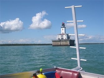
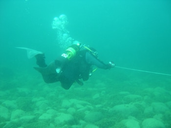
Photos by R. Bloomfield M.U.W.P.
|
Wreck Description: The wreck lies in 15 to 20 feet of water and scattered over a large area in the small bay, just north of Detour Shoal on the west side of Detour Passage. Only a portion of the wreck is present, as it was torn apart to salvage the cargo of coal. One side of the hull, a bow section, a stern section and several small pieces of debris are present.
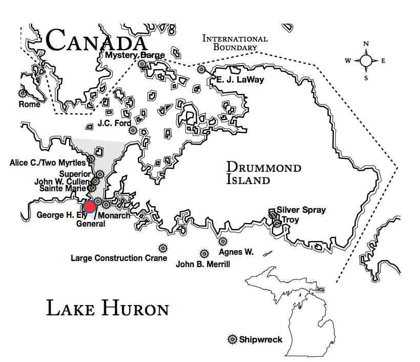
Wreck Location: The wreck lies in 15 to 20 feet of water at in the western portion of a small bay area, just north of Detour Shoal on the west side of Detour Passage.
Lat/Long Coordinates:
Latitude:45º 57.582’ North
Longitude:83º 54.333’ West
Wreck Location: The wreck lies in 15 to 20 feet of water at in the western portion of a small bay area, just north of Detour Shoal on the west side of Detour Passage.
Lat/Long Coordinates:
Latitude:45º 57.582’ North
Longitude:83º 54.333’ West
|
Map courtesy of Michigan Underwater Preserve Council.
|
© 2009 Mike Spears and the Drummond Island Tourism Association


